PORTLAND, Maine (AP) ŌĆö The U.S. East Coast began a whiplash-inducing stretch of weather Wednesday with a deluge of rain, rapid snowmelt and powerful gusts, creating dangerous conditions, due in part to an atmospheric river and developing .
Ski resort operators in the Northeast watched their snow turn to mush with a deluge of rain and unseasonably high temperatures ŌĆö followed by damaging winds ŌĆö all in the same day, part of a powerful storm system that stretched from Florida to Maine.
Utilities braced for widespread power outages with winds projected to exceed 60 mph (97 kph) through late Wednesday. Isolated severe thunderstorms were possible southward into portions of Florida. Elsewhere, heavy lake effect snow was expected through Thursday in parts of Michigan, along the Lake Michigan shoreline, and dangerous cold enveloped parts of the Upper Midwest.
A key driver in the weather was , which is a long band of water vapor that can transport moisture from the tropics to more northern areas, said Derek Schroeter, a forecaster with the National Weather Service. New England was bearing the brunt as the storm from the Atlantic Ocean off the coast of the U.S. Southeast, and transported it to places like Maine, he said.
Forecasters also said the storm had the potential to include a process that meteorologists call , or a ŌĆ£bomb cyclone.ŌĆØ ThatŌĆÖs a rapid intensification of a cyclone in a short period of time, and it has the ability to bring severe rainfall.
ŌĆ£Is that what theyŌĆÖre calling it?ŌĆØ said Jen Roberts, co-owner of Onion River Outdoors sporting goods store in Montpelier, Vermont. She lamented that a five-day stretch of snowfall that lured ski customers into the store was being washed way, underscoring the regionŌĆÖs fickle weather. ŌĆ£But you know, this is New England. We know this is what happens.ŌĆØ
Alex Hobbs, a Boston college student, hopes that the weather wonŌĆÖt interfere with her plans to return home to San Francisco soon.
ŌĆ£IŌĆÖm a little worried about getting delays with heavy wind and rain, possibly snow,ŌĆØ she said Wednesday.
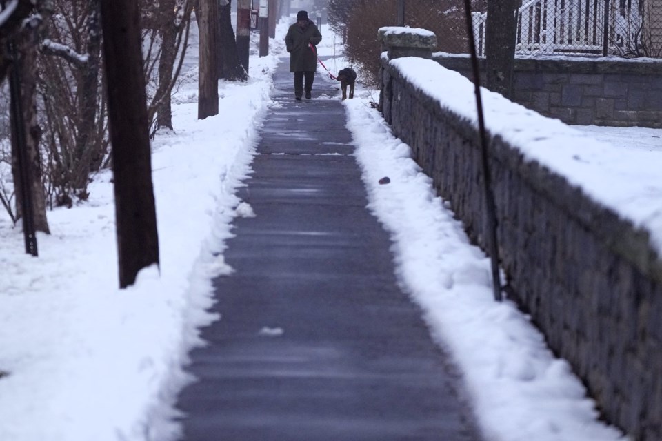
In New England, the storm began with combination of fog and freezing rain Tuesday night into early Wednesday, making travel treacherous. A tractor-trailer carrying a load of oranges went off the Maine Turnpike in New Gloucester; the road was so treacherous that the oranges couldnŌĆÖt be removed until a day later.
In New Hampshire, the Mount Washington Avalanche Center issued a special bulletin Wednesday for the Presidential Range of mountains, which received significant snowfall over the last two weeks. ŌĆ£Heavy rainfall could create dangerous and unpredictable avalanche conditions on steep snow-covered slopes,ŌĆØ the avalanche center warned.
Atop Mount Washington, wind gusts hit 89 mph (143 kph). The location is one of the planetŌĆÖs windiest spots. Its highest gust recorded for 2023 was 132 mph (212 kph). From January to December of that year, it saw 145 days with gusts of 73 mph (117 kph) or higher.
The rain should help ease drought conditions in the region. As recently as last week, state environmental officials in Massachusetts raised drought concerns on Cape Cod, while a more critical drought declaration remained in effect in other parts of the state.
Flood watches were in effect in Vermont, where the capital city of Montpelier, hard hit in past floods, advised residents to elevate items in basements and low areas that . And in Rhode Island, heavy surf and flooding closed several roads in Newport.
There were power outages scattered across the region. In Rhode Island more than 6,000 were without power at about 6 p.m., compared to 4,900 in Massachusetts and 4,300 in Maine.
In Higganum, ąĪ└Č╩ėŲĄicut, 13 students and a bus driver had to wait inside their bus as utility crews and firefighters removed downed electrical wires that fell onto the bus. Once the area was deemed safe, students evacuated the bus and boarded another that took them to their parents, said Olivia Drake, public information officer for the Haddam Volunteer Fire Company.
It was the fire departmentŌĆÖs third incident involving power lines on Wednesday. Earlier in the day, firefighters responded to a pole fire and a tree that was leaning on power lines and was smoldering.
Ski resorts around the Northeast were preparing visitors for a potentially messy day on Wednesday. ŌĆ£We donŌĆÖt say the ŌĆśr-wordŌĆÖ around here. ItŌĆÖs a forbidden word,ŌĆØ said Jamie Cobbett, marketing director at Waterville Valley Resort in New Hampshire. ŌĆ£WeŌĆÖre getting some moist wet weather today. WeŌĆÖll put the mountain back together tonight, and hopefully weŌĆÖll be back skiing tomorrow with no problems.
At VermontŌĆÖs Sugarbush resort, skier Marcus Caston was waterlogged but shrugged it off. ŌĆ£The conditions are actually pretty good. The rain is making the snow nice and soft. ItŌĆÖs super fun,ŌĆØ he said. ŌĆ£WeŌĆÖre having fun out here.ŌĆØ
___
Associated Press writers Lisa Rathke in Marshfield, Vermont, Michael Casey and Steve LeBlanc in Boston, Susan Haigh in Norwich, ąĪ└Č╩ėŲĄicut and Kathy McCormack in Concord, New Hampshire, contributed to this story.
Patrick Whittle And David Sharp, The Associated Press


