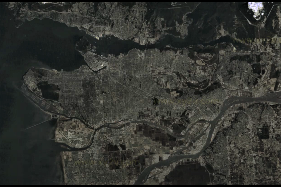
Metro Vancouver has seen a lot of growth in the last few decades.
It's evident whatever perspective you have, from ground level to a bird's eye view, up to space. In a video, one YouTuber combined the United States Geological Survey and Landsat data to create an animation of the city starting in 1984 and going right up to 2020.
And instead of just doing an image per year, they pulled lots, meaning there are usually multiple images from each year.
The images are of more than just Vancouver; they stretch over almost the whole Metro Vancouver region, including West Vancouver, Port Moody and Surrey.
What seems to work best is to pick one spot and watch it develop over time.
YVR is a particularly good choice since the runways are an easy spot to pick out. The Port of Vancouver and Canada Place area also sees growth over time (and ships can be spotted docked).
Often, though, entire neighbourhoods appear in cities over a few images, showing how fast areas can flip from rural uses or nature to suburban or urban areas.


